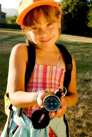
More and more schools are recognising the benefit of learning outside the classroom to all elements of the curriculum and to all age groups. It raises standards, sparks creativity and encourages participation. Well we are now well into the Year of Fieldwork, which has the key focus of drawing kids out of the classroom to learn new skills in the field.
The Year of Fieldwork has been put together by a range of partners in the sphere who are keen to champion the opportunities which can be seized in the great outdoors. Partners include Esri UK, Field Studies Council, the Geographical Association, Ordnance Survey and the Royal Geographical Society (with IBG) who have combined their years of experience to promote the value of fieldwork and the range of support and resources that are available to schools. They identify their aims for the Year as the following:
-
Highlight examples of good practice and the support that we, and others, provide to support schools to enhance the fieldwork that they provide;
-
Encourage more schools to undertake geographical fieldwork at all phases of the curriculum, and examination classes;
-
Raise awareness of the value of fieldwork to geographical education and the benefits that it provides to young people; and
-
Promote the benefits of fieldwork as a valuable and transferable skill across a range of subject areas.
So how can you work The Year of Fieldwork into your lessons? The Council for Learning Outside the Classroom has identified some interesting ways to engage your students with both Geography and the practice of fieldwork.
The Geographical Association has some fun resources for years five and six designed to help them explore and map their school and community, called Map it, Bike it, Walk it. The aim of the project is to ideally have the students lead their own fieldwork study of their school and beyond, using quantitative data collection such as categorising and recording road users and recording noise levels. The Geographical Association also want students to record their emotional responses to their findings, collecting a visual record of what they found that was positive and negative.
Why not try Geocaching an innovative way to explore GPS technology by using it to locate and find hidden caches? Geocaches are hidden in both rural and urban areas, allowing your students to explore a range of environments while on an exciting treasure hunt.
You could visit your local park and learn more about how green spaces are managed. Have your students survey visitors and gather information about who uses the space, how and when. From there they can compose a plan for managing the park which looks at costing, pros and cons and visitor access using maps and charts to illustrate. They could present their plan to the class, the school, or even the local community.
If you are heading out into the field Handsam can help you assess the risks involved through our risk assessment guidance, protect against those inevitable dangers such as sun and help you find the perfect location for a Geography adventure with our trip planning system.


